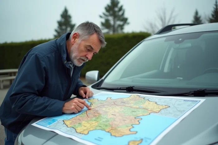
The French motorway network totals several thousand kilometers of both toll and non-toll routes, connecting major metropolitan areas to coastal, mountainous, and border regions. This infrastructure evolves every year: new sections, modernization work, regulatory changes. Having up-to-date mapping before hitting the road allows for anticipating travel times, tolls, and construction zones.
A69 Castres-Toulouse: the section that reshapes the southwest in 2026
Most road mapping tools display the network as it existed the previous year. In 2026, one route significantly changes the game in the southwest: the A69 motorway between Castres and Toulouse, with its opening scheduled for October 2026.
The Council of State definitively validated the environmental permits for this project on June 29, 2026, removing the last legal obstacle while the construction was already about 70% complete. This section creates a direct link between the south of Tarn and the Toulouse metropolitan area, where drivers had previously used the RN126, which is congested during peak hours.
For summer trips to Languedoc or the thermal resorts of Tarn, this new section changes the route logic. Consulting the map of French motorways 2026 allows you to visualize this section integrated into the existing network and adjust your route accordingly.

GSR2 Regulation and motorway driving: what changes on July 1, 2026
A road map provides information on routes, but not on the driving conditions that apply to these routes. Since July 1, 2026, the European GSR2 regulation imposes a series of driving aids on all new passenger and light commercial vehicles registered in the European Union.
These features directly modify behavior on the motorway, even if no sign indicates it. Among the systems now mandatory:
- Automatic emergency braking, which activates when the vehicle detects an obstacle or sudden slowdown, reducing the risk of chain collisions in construction zones
- Intelligent Speed Assist, which signals or limits speed based on restrictions detected by camera or GPS
- Event data recorder (black box), which logs vehicle parameters in the seconds leading up to an accident
- Lane-keeping assist, particularly useful on long motorway trips where vigilance decreases
Every new vehicle purchased from July 2026 will come equipped with these devices as standard. For drivers planning a long summer trip with a recent vehicle, these systems interact with road signage and speed limits specific to each motorway section.
Francilienne: speed harmonization and new radars in Île-de-France
The Francilienne (RN104/A104) is one of the most traveled routes in the network, and its configuration has long suffered from a lack of regulatory coherence. Starting in July 2026, the speed will be harmonized at 90 km/h on the Seine-et-Marne sections, accompanied by the installation of new radars.
Stricter rules also apply to heavy goods vehicles on this section. For drivers in Île-de-France or those crossing the region towards the southern motorways (A6, A10) or the eastern motorway (A4), this change affects travel times on the bypass.
Traditional route calculation tools do not always reflect these local adjustments in the weeks following their implementation. Checking the current regulations on each section remains a useful precaution before heading off on vacation.
Traffic forecasts and charging stations: two data points to cross-reference with the map
A static map of the motorway network is not enough to plan a trip calmly. Two additional parameters deserve to be cross-referenced with the chosen route.
Summer traffic 2026 and departure days
Traffic forecasts published by motorway companies and organizations like Bison Futé indicate weekends classified as red or black during summer 2026. The A7 (Rhône Valley), A10 (Paris-Bordeaux), and A9 (Languedoc) routes remain the busiest during the heavy traffic of late July and early August.
Shifting your departure by half a day can halve travel time on these routes. The portals of the concessionaires (VINCI Autoroutes, SANEF, APRR) publish updated forecasts each week.
Charging stations on major routes
The issue of electric charging on motorways is growing as the fleet of electric vehicles expands. Major motorway routes now have a network of charging stations at service areas, but the risk of saturation remains real during peak summer departure times.
Before a long trip in an electric vehicle, identifying equipped service areas along the planned route and planning a fallback area in case of waiting helps avoid unpleasant surprises. Some interactive maps now integrate the locations of these charging stations directly onto the motorway route.
Construction and modernization of the network: routes to watch
The government has presented a modernization plan for transport infrastructure that includes the motorway network. Several projects for widening, road resurfacing, and environmental standard compliance are scheduled for the coming years.
These works generate lane reductions, temporary detours, and lowered speed limits, sometimes over several dozen kilometers. The most affected sections are usually signaled by the concessionaires a few days before the start of the works, but consulting an updated map before departure remains the most reliable reflex.
The French motorway network in 2026 is no longer the same as in 2024: a new section in the southwest, modified speed rules in Île-de-France, mandatory safety equipment on new vehicles, and an expanding network of electric charging stations. Each of these elements influences the choice of route, departure time, or stopping area.